
Conway Neighbors Block Sources
Public records describe a Conway block in layers. The Conway GIS map defines parcel edges and local planning context. Faulkner County assessment cards name owners and distinguish a property's physical situs from the address used for tax mail. Voter data, permit files, and city-board material contribute only the fields each office lawfully keeps. None is a complete list of residents.
| Source | What It Shows About a Block | Access |
|---|---|---|
| Conway and state GIS | Parcel geometry, nearby lots, city limits, wards, zoning, overlays | Free maps and open services |
| Faulkner County Assessor | Owner, parcel, situs, mailing address, legal description, homestead field | Two web vendors or public computers |
| Formal voter file | Released registration geography after suppression | Secretary of State or County Clerk request |
| Civic Access and packets | Address-linked projects, applicants, inspections, and dates where public | Dynamic portal or focused FOIA request |
| City boards and plans | Public leaders, meetings, districts, and planning areas | City pages and meeting records |
Ownership is not occupancy. An owner may receive mail at another site, while renters and other household members usually do not appear on a parcel card. A homestead credit can support an owner-occupancy claim but still does not name all people nearby. Keep each finding tied to the exact source and date.
Map Conway Neighbor Parcels
The adjacent-parcel method starts with one verified address. A parcel is a mapped unit of land used for assessment. Search the address, select its polygon, record the parcel ID, and zoom out one or two levels. Then click each touching or nearby parcel. Street frontage and parcel boundaries give a sound block definition; the visual distance between buildings can be misleading.
- Normalize the starting address and locate it in the Conway mapping and planning resources.
- Select the parcel polygon and save its parcel ID, legal description, and physical situs address.
- Move outward to each lot that touches the same frontage or chosen block edge. Record the parcel IDs before opening assessment cards.
- Compare owner and mailing fields without treating either as a list of occupants. Note any homestead field only as limited owner-occupancy evidence.
- Use the Conway street directory when the task expands from the immediate block to a whole named street.
No radius or buffer export was verified in the live Master Map. Do not promise that control. Manual parcel selection remains the documented method, and the assessor's public computers are the fallback if a web vendor blocks a filter or image.
Layer Conway Neighbor Context
Parcel ownership is only one view. Conway GIS can add city limits, annexation, wards, zoning, planning districts, design overlays, and historic neighborhoods. The named layers include the Markham Street Neighborhood Specific Plan, Northeast Old Conway area, Asa P. Robinson Historic District, Old Conway Design Overlay, and Traditional Neighborhood overlays. These boundaries explain why two nearby properties may follow different review or planning rules.
A postal Conway address does not always prove municipal jurisdiction. The city line, annexation layer, and parcel geometry should settle that question before a city-record request is made. Legal descriptions also remain more stable than mailing labels when a subdivision develops or street presentation changes. The map gives regulatory context, not facts about the private lives of nearby people.
Note: Map a Conway block with parcel lines, then add planning layers one at a time so boundaries do not obscure ownership clues.
Conway Voter Data by Block
VoterView is an identity check, not a block browser. It asks for first name, last name, and date of birth, then can return registration, precinct, polling place, district, and sample-ballot information for a match. It never reveals a person's ballot choices. A no-match result does not create a street list.
Block analysis requires the formal voter-data route. Arkansas offers registration, vote-history, and combined files, while protected fields are removed. The files are very large quoted CSV datasets and are not suited to casual spreadsheet use. Faulkner County lists a paper voter list at $0.02 per name and a voter disk at $25. The released information remains a dated registration roll, not proof of every person at an address.
Historically, UCA Archives preserves a 1972 Faulkner County registered-voter file in the Guy H. “Mutt” Jones collection. That unusual roll can help reconstruct an older Conway community. It should be read as a historic registration source rather than a modern neighbor directory.
Conway Neighbor Civic Contacts
Official Conway civic groups publish leaders, meetings, and public work. They do not expose private neighborhood membership. The city names the Historic District Commission, Community Engagement Council, Robinson Cemetery Board, and Oak Grove Cemetery Board. Planning records also identify the Old Conway and Markham-area districts. No official city directory of HOA or neighborhood-member rosters was found, so private membership must not be implied.
Planning and Development
City GIS, addressing, zoning, subdivision, and historic-review context. Address questions may include a parcel ID or location description.
Historic District Commission
Public applications, meetings, and certificates can document projects in regulated historic areas.
Community Engagement Council
Official public leadership and meeting activity, not a roster of households on a block.
Cemetery Boards
Robinson and Oak Grove boards maintain public preservation roles and record-related meeting work.
The Conway boards directory is the official source for these public bodies.
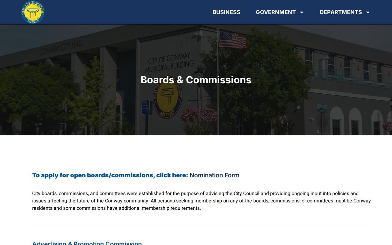
This directory supports civic contact and meeting research while keeping private block rosters outside the claim.
Conway Neighbors and Address Records
Civic Access and commission packets can show how a block changes. A public permit or project file may connect an address with work, an applicant, an inspection, or a project date. The dynamic portal's complete search fields were not verified, so use only the controls visible during the search. If the online route fails, request an identifiable permit, packet, or project record from Planning and Development.
Historic Commission packets can be especially useful in the Robinson and Old Conway overlay areas. Read them as project evidence tied to a parcel, not as a resident roster.
Note: Permit evidence can date change on a Conway block, but it cannot identify every person living there.
Conway Police Record Requests
Police records are also address keyed, but they require careful use. Conway's Records Section accepts requests tied to a report number or an incident date and address. Juvenile, victim, active-investigation, and other exempt details can be withheld. A call at an address is not proof that an owner, renter, or nearby Conway neighbor committed an offense. The Conway Police records page provides the official report and request routes.
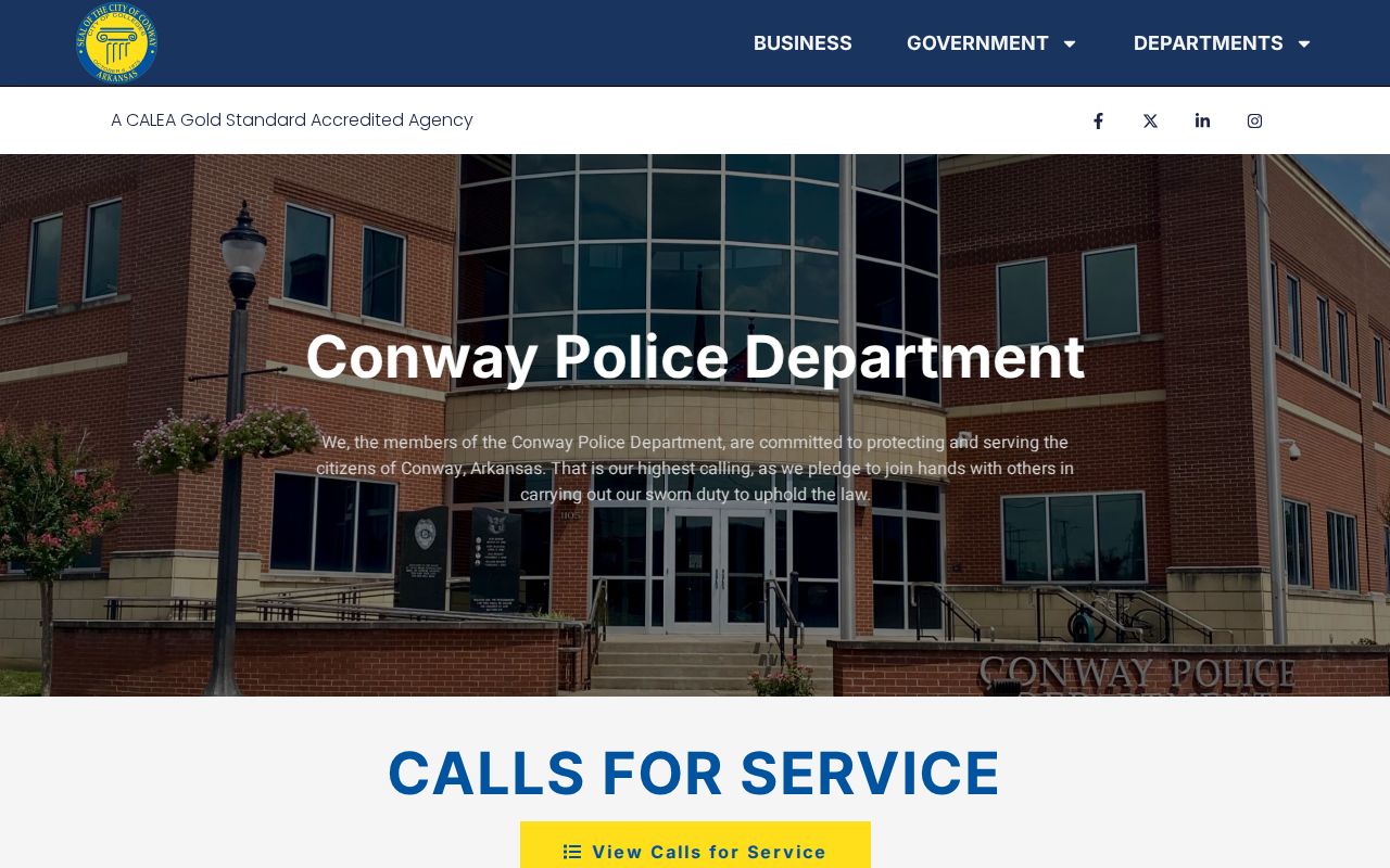
The police source should be used to locate a public record, never to infer private conduct from a block address.
The Conway City Attorney guidance explains the value of a report number or incident date and address.
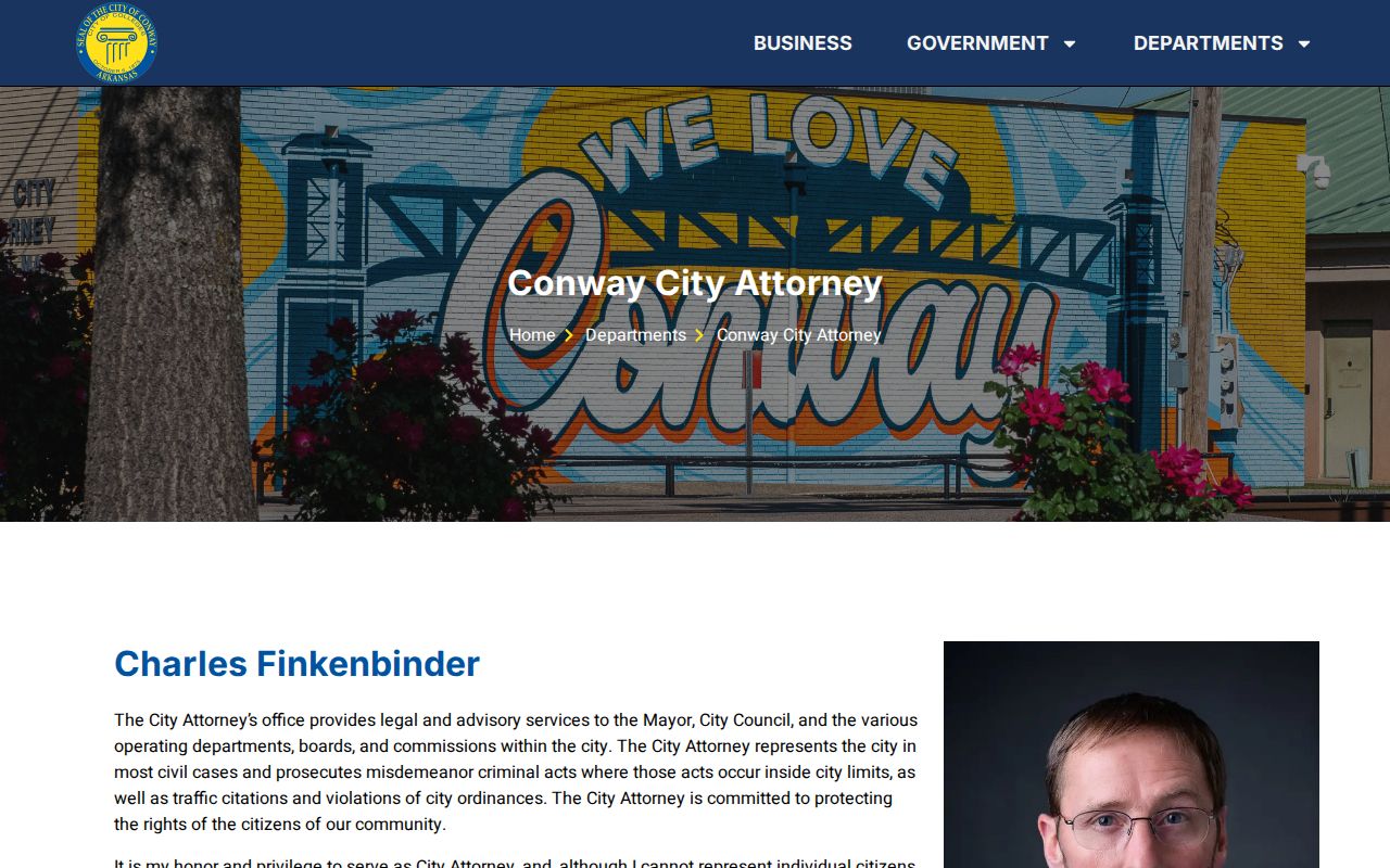
That narrow request format helps the custodian find the correct file while preserving all applicable exemptions.
Compare Conway Neighbor Sources
Official and commercial neighbor sources answer different questions. County and city records name the keeper, define the field, and offer a correction path. Commercial compilations may merge public and purchased data, keep stale addresses, or join two people with similar names. They should not override a parcel card, court file, voter custodian, or city record.
| Source type | Best use | Main limit |
|---|---|---|
| GIS and assessor | Define parcels and identify assessed owners | Does not list every occupant |
| Formal voter data | Study released registration geography | Protected fields omitted; dated roll |
| Permit and board records | Track public projects and civic activity | Not a household directory |
| Commercial compilation | Generate a clue for later verification | May be stale, merged, or uncorrected |
The Arkansas Attorney General FOIA guidance explains the official access framework.
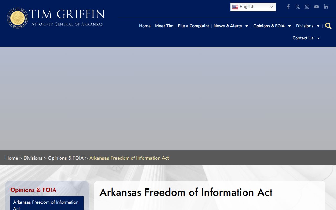
The guidance helps frame a specific public-record request instead of relying on an unverified commercial block list.
Note: Prefer the office that created a Conway record because it can explain the fields and correct an error.
Conway Neighbor Safety Context
Official law-enforcement pages can verify a current public source without turning a block into a label. The Faulkner County Sheriff maintains county contact routes, detention information, and warrant resources. Roster or warrant status changes. Always confirm it with the sheriff, and verify any case disposition through Search ARCourts and the proper clerk. An arrest, booking, call, or pending charge does not establish guilt.
The Faulkner County Sheriff page is the county source.
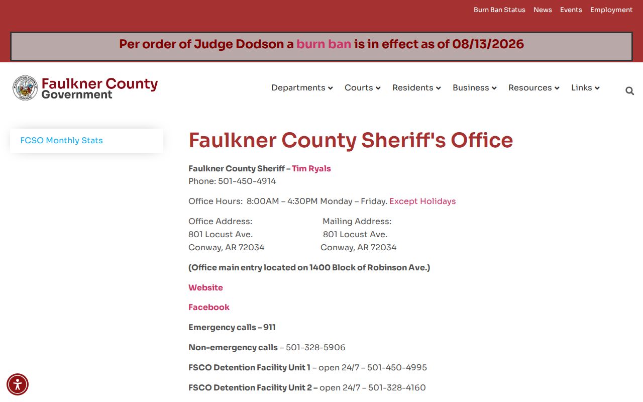
Use it for current custodian contact and verification, not to draw broad claims about Conway neighbors or a street.
Public-safety research is most useful when it answers a defined personal question. Confirm the address, record date, report or case number, current status, and court disposition. Avoid reposting names or sensitive details that do not serve that need.
Conway Neighbor Privacy Limits
Private household facts do not become public because a parcel is visible. Renters, children, utility customers, motor-vehicle addresses, delivery records, and protected residents are not supplied by the parcel map. Arkansas's Address Confidentiality Program can permit a qualifying protection-order holder to display a post-office box on a driver license or ID. Voter custodians also suppress protected fields.
A deed opens no sealed file. The federal Driver's Privacy Protection Act restricts personal information from motor-vehicle records, while vital certificates and some court files follow their own limits. If a public record is wrong, direct the correction to the office that created it. If a commercial compilation exposes a stale address, use its privacy or opt-out process and keep the confirmation.
Lawful use. Research Conway neighbors only for lawful personal and civic purposes. Never use block records to watch, stalk, harass, threaten, or intimidate anyone.