
Walk Conway Streets by Address
A Conway street search starts with a clean postal address, but it should not end there. The postal line identifies mail delivery. Conway GIS tests whether the point is within city limits, while the assessor ties the street number to a taxable parcel. The legal description then carries the search into deeds even if a street name or number changed. Ownership and occupancy must stay separate throughout the Conway street directory. A homestead credit supports an owner-occupancy claim, for example, but it never identifies each person in the home.
- Normalize the address through USPS and Conway GIS. If the address is uncertain, send GIS staff the address, parcel ID, or a clear location description.
- Search the Faulkner County Assessor by situs address. Save the parcel number, owner, legal description, mailing address, and any homestead flag.
- Open the same place in Conway Master Map. Click nearby parcels and inspect city-limit, ward, zoning, planning, and historic-area layers.
- Take the owner and legal description to the Circuit Clerk's deed index. Find the acquisition deed, then trace each earlier seller through the grantor and grantee index.
- Check Civic Access, public commission packets, voter channels, and physical directories only for the limited address evidence each can supply.
The chain is address to parcel, parcel to owner, owner to deed, and deed to earlier names. A resident claim needs an additional source. Telephone books, a directory street section, census schedules, or a lawful voter file can add occupancy evidence, but none should be stretched past its date and purpose. For a whole historic collection rather than one street, use the Conway city directory research path.
Conway Street Directory Search Fields
The Faulkner County Assessor links both ACT Data Scout and ARCountyData. The county says its web data update monthly and also provides public computers at the assessor's Conway office. That direct option matters when a vendor blocks a browser, formats a street in an unexpected way, or withholds a field behind a paid tier. The assessor describes both free and fee access, so a by-address search should not promise that every vendor view is free.
| Assessor field | Input | Needed? | Conway use |
|---|---|---|---|
| Owner Name | Text | No | Connect a known owner to parcels; try surname variants. |
| Property / Situs Address | Text | No | Search a street number and name; vendor format can vary. |
| Parcel Number | Text | No | Open one exact property after the first match. |
| Search | Button | Submit | Run one filter or a supported combination. |
| Clear / New Search | Button | No | Reset when a broad street query creates noise. |
The county assessor page shows the official office and its linked access routes. 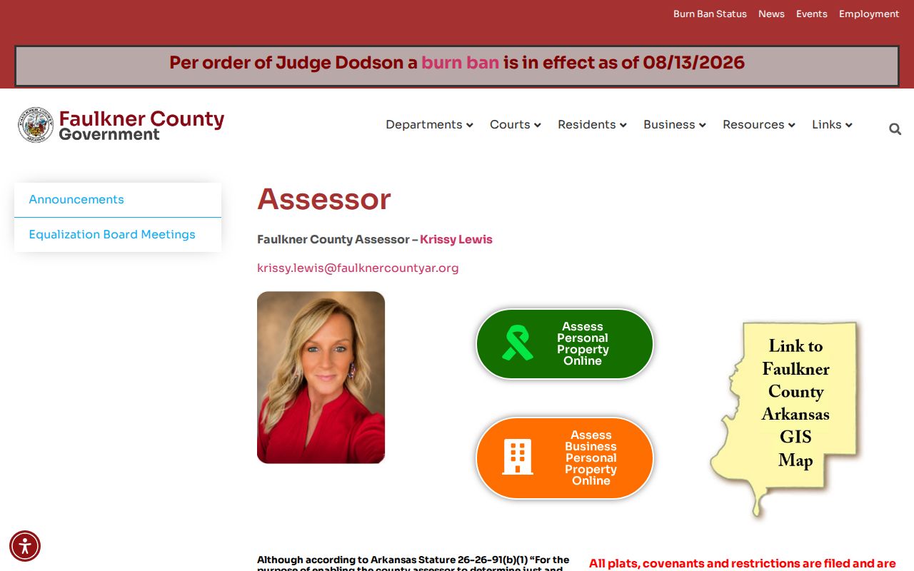 It confirms that a Conway address search has a government-office fallback even though outside vendors host the live property interfaces.
Map the Conway Street Grid
The Conway Master Map supplies the visual half of an address map. Search an address, zoom to the block, select the parcel, and turn on only the layers needed for the question. City limits, wards, zoning, planning districts, design overlays, historic neighborhoods, and annexations can explain why two nearby addresses fall under different rules. The parcel shape is more useful than a building's apparent distance from the road. It also helps match a lot or subdivision named in a deed.
The Master Map screen makes the block context visible.  Use the map to choose parcels, then return to assessor cards for names and mailing details rather than treating the map as a household list.
Conway also publishes an ArcGIS open-data service directory. 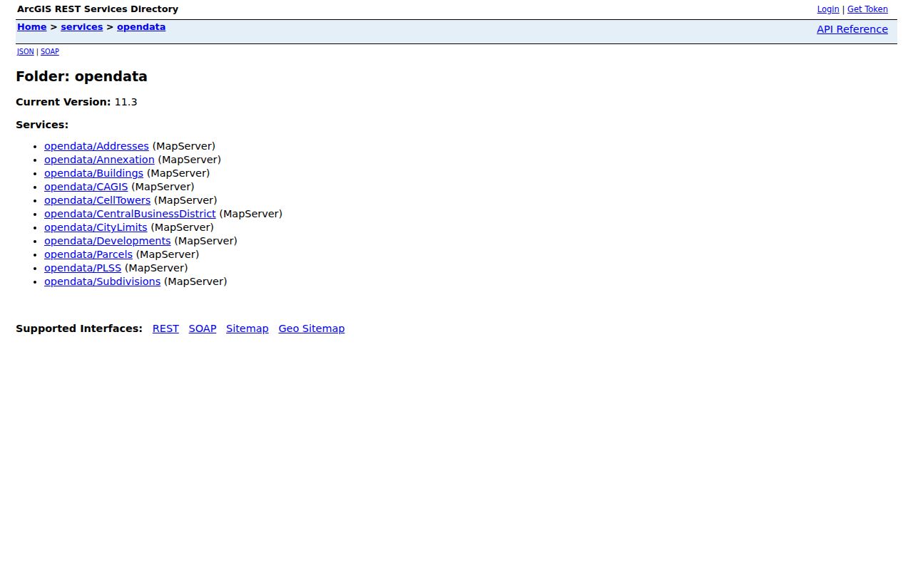 Those services document the authoritative city layers behind the map, including city-limit and annexation context that a postal Conway label cannot settle.
Conway Records Keyed by Street
No single Conway office keeps the complete address story. The by-address chain works because each record set has a distinct keeper and proof value. The parcel number joins assessment and map records. A legal description joins those sources to deeds, plats, and covenants. Street text connects permits and certain reports, but exact spelling is less stable over time. The access column also matters: the web is only one channel, and public computers, office counters, mail, and Arkansas Freedom of Information Act requests remain part of the route.
| Address record | Conway keeper | Evidence supplied | Access route |
|---|---|---|---|
| Assessment card | Faulkner County Assessor | Owner, parcel, situs and mailing addresses, legal description, valuation, homestead | Two vendors or public computers |
| Tax account | Faulkner County Collector | Billed owner, property, and payment status | ACT Data Scout, mail, or counter |
| Deed, lien, plat | Faulkner County Circuit Clerk | Parties, instrument, land description, and record date | BIS scans to 1950; older books at counter |
| Parcel context | Conway GIS | Geometry, limits, ward, zoning, and historic layers | Free maps and open services |
| Permit or project | Conway Planning | Work, dates, and public applicant or contractor ties | Civic Access or FOIA request |
| Voter evidence | Secretary of State / County Clerk | Individual status or a dated, suppressed registration file | VoterView or formal file request |
The Faulkner County Collector adds tax-account context. 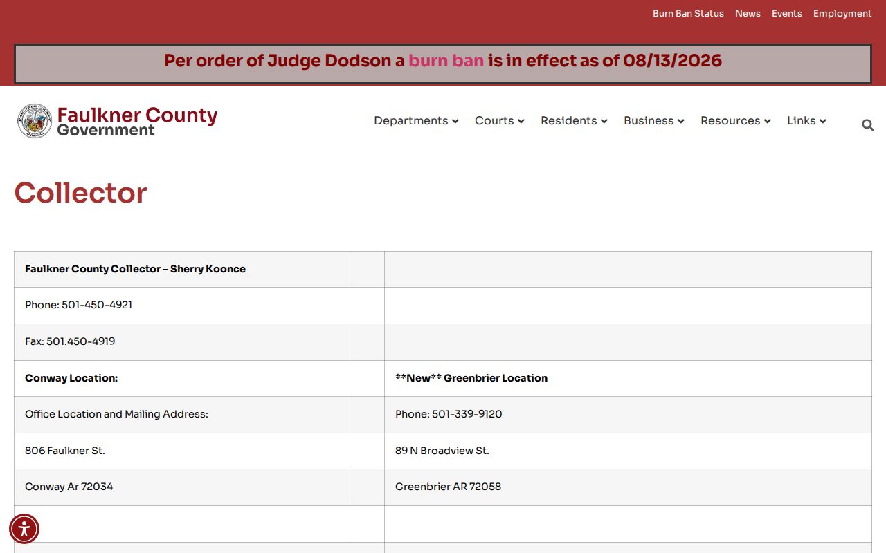 A tax account shows who is billed and whether tax is paid; it does not name everyone at the address.
Read Conway Address Terms
Street records use several words that sound interchangeable but are not. Reading them correctly prevents common Conway address-record errors, especially when an owner's mail goes elsewhere or an old deed does not carry the current street number.
- Parcel
- A mapped unit of taxable land identified by a parcel number.
- Situs address
- The physical location of the taxed property, distinct from the address used for tax mail.
- Legal description
- The lot, block, subdivision, or metes-and-bounds wording that identifies land despite postal change.
- Plat
- A recorded drawing that lays out lots, streets, easements, or a subdivision.
- Criss-cross directory
- A directory organized by street or phone number instead of only by surname; its presence must be checked in each physical Conway volume.
Note: The assessor's owner mailing address may point outside Conway and is not proof that the named owner lives on the parcel.
Trace Conway Deeds Along Streets
The Faulkner County Circuit Clerk serves as ex-officio recorder. Deeds are indexed by people and land, not always by a modern address. Begin with the assessor's current owner and legal description. Search the owner as grantee to find the purchase, capture document number, recording date, instrument, book and page, both party roles, and the legal description, then search the seller as an earlier grantee. Repeating that move builds the title chain.
Online real-estate scans reach 1950. Earlier deed books and indexes require the clerk's counter while older scanning continues. Noncertified copies cost $0.50 per page, and certified or authenticated copies cost $5. Those are copy charges, not the same as recording fees. This is an important Conway street directory boundary: a missing web image may still exist in a book. Ask for the original grantor and grantee index when the scan trail stops.
Note: Match the same legal description when common surnames appear; a name alone can connect the wrong Conway parcel to the street chain.
Conway Permit Records by Address
Conway Planning and Development uses Civic Access for permit applications, inspections, and project status. A public project file can date construction or alteration and may connect an applicant or contractor with an address. Historic District Commission packets can add detail in the Asa P. Robinson Historic District and Old Conway Design Overlay. Yet the dynamic portal did not expose a full verified field list during research, so no unconfirmed filter or export should be promised.
The Conway Civic Access portal is the first online check.  If its search fails, describe the record and date range to Planning or use the city FOIA channel rather than assuming no permit exists.
Conway Streets Across Boundaries
A Conway postal address does not prove that a parcel lies within the current municipal boundary. Conway GIS updates the city-limit layer after annexation approval, and Arkansas Check My City stores boundary changes and ordinances. The city recorded a 2022 boundary update through Ordinance O-22-61 and Court Order CC-22-03. For address questions, GIS staff accept an address, parcel ID, or location description at gis@conwayarkansas.gov. USPS settles delivery; GIS settles jurisdiction.
The Planning and Development page gathers Conway maps and addressing contacts.  That city source is the right place to resolve an address that appears in a vendor record but not on the expected Conway map.
The 1917 B.G. Wilson map gives older streets a durable anchor. Conway adopted it on June 26, filed it on July 3, and recorded it in Town Plats A at page 46 and following. Later UCA maps and Sanborn sheets help bridge changed street presentation, while the legal description keeps the land match intact.
Conway Voter Records Need Names
VoterView is not a browseable Conway street list. Its individual lookup requires first name, last name, and date of birth. A match can confirm registration, polling place, district, and a sample ballot, but never ballot choices. The separate polling-place tool takes a residential location and returns voting locations, not a household roster.
A formal Secretary of State voter-file request is the only documented route to broader registration geography. Released fields may include residence or mailing data after protected fields are removed, while Social Security numbers, identification data, full birth dates, and protected addresses are not released. The County Clerk also lists a paper voter list at $0.02 per name and a voter disk at $25. Any file is a dated registration roll, not proof of all current residents by address.
The statewide request distinguishes a voter-registration file, a federal-election participation file, and a combined file. The registration and history sets each contain about 1.7 million rows; the quoted CSV files are roughly 620MB and 600MB, while the combined set is about 1.2GB. They are too large for an ordinary spreadsheet workflow. Registration data can include county, name, residence or mailing address, phone, precinct or district, and last-voted information after statutory suppression. Participation history reaches from 2008 through the current cycle, but it records only that a person took part in a federal election. It never shows a selection. Filter lawfully released Conway geography, preserve the file date, and label every result as registration evidence rather than a current household finding.
Conway Street Directory Limits
Property rolls identify owners and tax facts. They omit many renters and other household members. Homestead evidence supports a principal-residence claim by an owner but does not reveal each resident. Utility customer data and motor-vehicle addresses are not public directory substitutes, and Arkansas confidentiality rules may suppress a protected residence. A physical telephone book can identify a listed subscriber, though its exact reverse-directory years must be confirmed at the Faulkner County Museum.
Use exact dates and source labels in every result. An assessment updated monthly, a permit from a past project, a voter registration, and a historic directory entry can all name different people without contradiction. For the backward history of one property, the Conway previous residents trail joins deeds, maps, census schedules, and archives.
Lawful use. Conway street and address records support family research, property study, and civic curiosity. Never use them to stalk, harass, threaten, or harm a person.