
How Conway ZIP Codes Are Used
Four ZIP usages are verified through official Conway addresses and local institutions. They describe mail, not fixed neighborhood polygons. The research did not locate an official station-by-ZIP list or downloadable postal boundary map, so informal east-side or west-side lines would overstate the evidence. Use the table as a coverage guide, then verify each complete street address with USPS.
| ZIP | Verified Conway use | Post office | Search note |
|---|---|---|---|
| 72032 | Standard city and county-library mailing addresses | Verify station by full address | Postal city can extend beyond the municipal line |
| 72033 | PO-box use confirmed by Historical Society mail | Verify classification with USPS | Do not treat as a residential neighborhood |
| 72034 | Standard county-office and west-side institution mail | Verify station by full address | Not a ward or city-limit proxy |
| 72035 | UCA institutional mailing use | UCA campus mail operation | Institutional use, not a neighborhood label |
This Conway ZIP code directory keeps the unknowns visible. Exact station service areas, polygon edges, and per-ZIP population counts were not verified. Census ZIP Code Tabulation Areas, often called ZCTAs, are statistical approximations and should not be presented as postal delivery boundaries.
The USPS ZIP Code Lookup is the proper first check for a complete address.
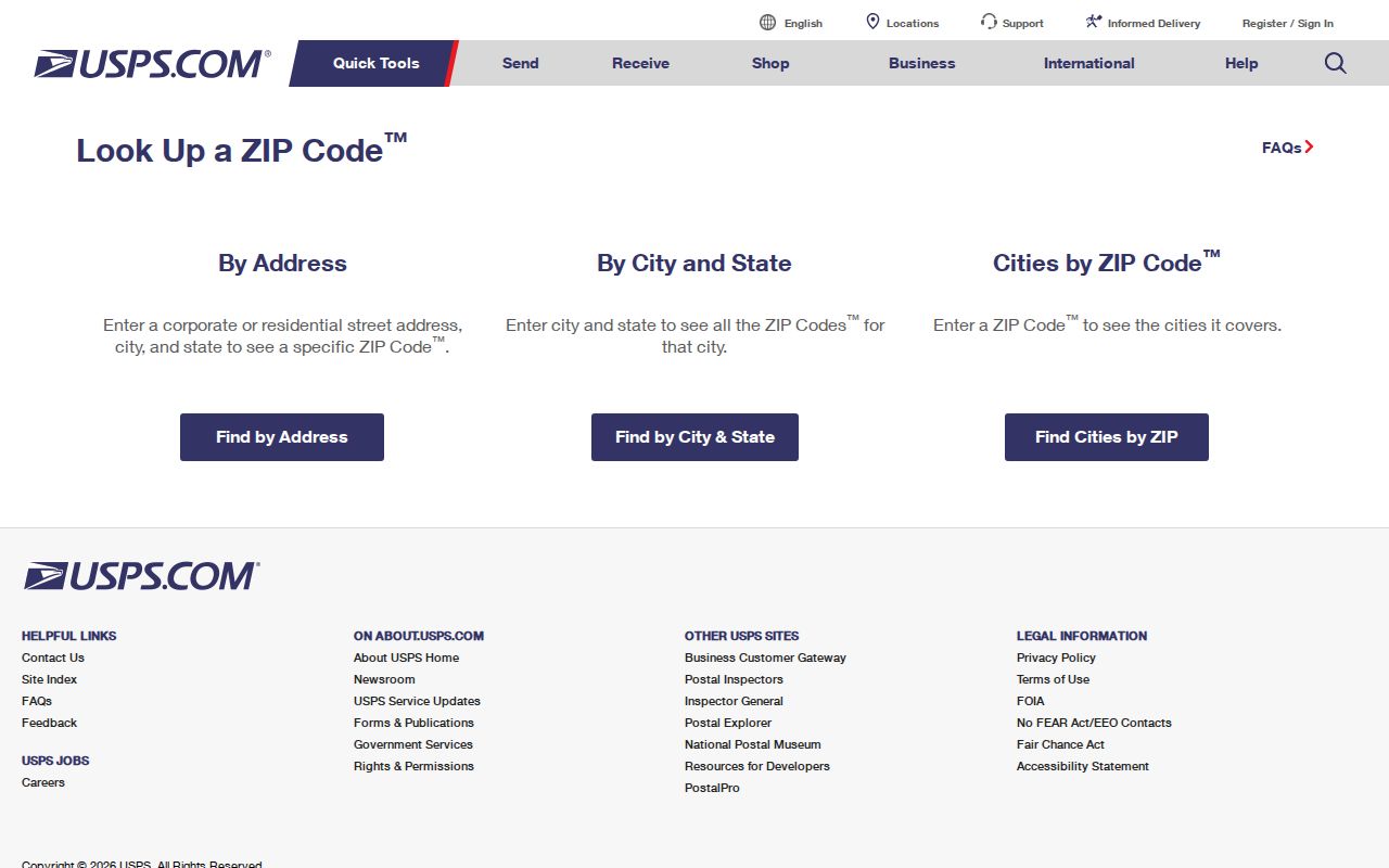
The result confirms the postal code and deliverable format. It does not determine whether the parcel lies inside Conway, which ward serves it, or who occupies it.
Conway ZIP 72035 Is Institutional
The 72035 code appears in the mailing address for UCA Archives and Torreyson Library. That supports an institutional UCA use, not a claim that 72035 outlines a normal residential neighborhood. Campus mail systems can use a distinct ZIP to route high volumes to one institution. A student, faculty member, or archive visitor connected with the campus may live elsewhere.
The same caution applies to 72033. Historical Society mail verifies PO Box 731 in that code, but the evidence does not establish a residential service polygon or every postal classification. A post-office-box code sorts mail held for pickup. It cannot be used to map a street household.
Conway's "City of Colleges" identity makes this distinction more than a technical detail. UCA, Hendrix, and Central Baptist create campus mail, yearbook, archive, and faculty-publication trails that cross postal and municipal systems. Those public records may show an affiliation while saying nothing about a private home address.
Narrow a Conway ZIP Search
No inspected official portal offers a verified, casual browse of every Conway resident inside one ZIP. The assessor's county-linked systems commonly carry ZIP as an address or result field, but automated inspection could not confirm a ZIP-wide filter. VoterView is an identity-verification tool, not a ZIP browser. Conway GIS can test city geography, yet no confirmed ZIP polygon layer was found.
- Enter the complete address in the USPS lookup. Save the standardized street line, city, ZIP, and ZIP+4 if returned.
- Search the Faulkner County property systems by situs address. Situs means the physical taxable location, not the owner's mail destination.
- Compare the parcel in Conway GIS. Check the city limit, annexation, ward, zoning, and planning context instead of treating the ZIP as a boundary.
- Use VoterView only to verify a known person's registration with the required identifying data. Do not expect a ZIP list.
- Once the place is narrowed to an actual road, switch to the Conway street directory for parcel, owner, deed, permit, and address-level work.
A ZIP code directory is best used as a funnel. It helps normalize mail and select the right local tools. The address, parcel ID, and legal description do the precise work.
Note: A ZIP-wide list can still contain stale mailing addresses, protected records, and people who own property in Conway but live somewhere else.
Read Conway ZIP Address Fields
The Faulkner County Assessor points to ARCountyData and ACT Data Scout for real-property access and keeps public computers as a fallback. County web data update monthly. The linked systems may expose postal fields, but the confirmed search modes are owner and property address. A live, complete ZIP dropdown was not captured, so the page should not promise one.
| Field or key | What it means | How to use it |
|---|---|---|
| Owner name | Assessed owner shown on the parcel record | Cross-check a known name, not all occupants |
| Situs address | Physical location of the taxed property | Use this for the local ZIP and map |
| Mailing address | Destination for tax correspondence | Do not treat it as proof of residence |
| Parcel ID | County's key for the assessment record | Carry it into map and tax work |
| Legal description | Lot, block, subdivision, or survey land identity | Use when postal labels change |
The Faulkner ARCountyData entry is one official county-linked route.
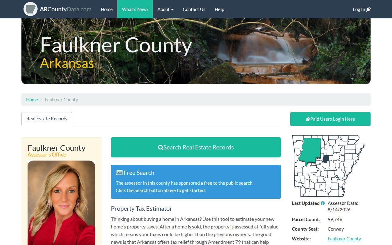
The property system can link an address to the owner and parcel. When the web tool fails or hides a field, the Assessor's public-access computers and staff remain the documented access channel.
Conway ZIPs Versus City Limits
Postal geography and Conway government geography answer different questions. USPS routes mail. Conway GIS records the city boundary when the council approves annexation. The state Check My City service stores municipal boundary changes and ordinances. A 2022 update identifies Conway Ordinance O-22-61 and Court Order CC-22-03. That record shows why a postal "Conway" line may outlast an older city boundary or extend beyond it.
Use Arkansas Check My City for annexation context and Conway Planning and Development for city addressing. The city asks that address-verification questions sent to gis@conwayarkansas.gov include an address, parcel ID, or location description. A ZIP alone is too broad.
- ZIP and ZIP+4
- The five-digit postal area and a more precise delivery segment added to a full address.
- PO-box ZIP
- A code used for mail collected at post-office boxes rather than mapped residential delivery.
- Institutional ZIP
- A code associated with a high-volume organization or campus operation, as 72035 is with UCA mail.
- Carrier route
- A postal delivery path. It is not the same as a ward, parcel, neighborhood, or city limit.
Ward, school, utility, and planning maps may help explain civic service areas. None is a list of residents. Match each boundary to the agency that actually maintains it.
Conway Land Outlasts ZIP Changes
Postal lines can shift, yet land identity is carried through parcel numbers and legal descriptions. Conway's B.G. Wilson official map was adopted in June 1917 and recorded the next month. UCA holds later city maps from 1925 through 1984, including subdivision maps for 1979 and 1983. Together they can explain why an old property trail does not match today's address or ZIP.
The Faulkner County Circuit Clerk is the ex-officio recorder. Its real-estate scans reach 1950, and older scanning continues. A deed names parties and the land conveyed. It should be searched by owner names and legal description rather than ZIP code.
The Faulkner County Circuit Clerk page provides the recorder's official access point and BIS portal route.
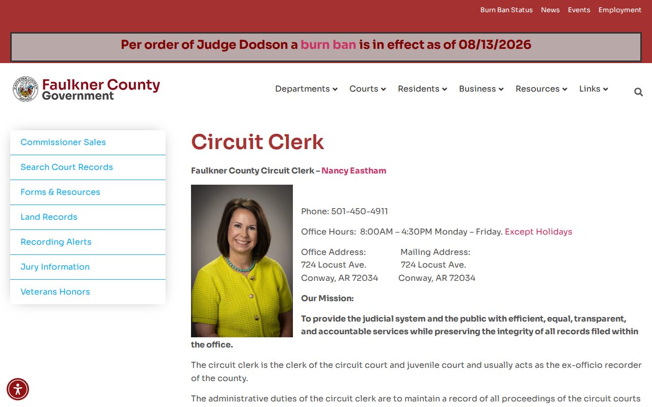
The recorder chain can carry a parcel across postal change, but ownership does not prove every occupant. Before 1950, continue at the counter into older deed books and indexes instead of assuming the trail is absent.
Conway ZIP Voter Limits
Arkansas VoterView requires a first name, last name, and date of birth. It can confirm registration status, polling information, districts, and a sample ballot for a matching individual. It has no county field and is not a public ZIP or street browser. Ballot choices are never shown.
A separate Secretary of State data-request channel covers statewide registration and election-participation files. Released registration data may include county, name, residence or mailing geography, precinct, and district after protected fields are removed. The files are very large, dated rolls. They do not prove all people at an address, and protected addresses may be suppressed.
The Arkansas DFA Address Confidentiality Program can permit a qualifying protection-order holder to display a post-office box on an identification card. Social Security numbers, driver-license data, full birth dates, and protected addresses are not ordinary directory fields. A missing address may reflect law, not a bad search.
Conway ZIP Directory Custodians
Postal, city, property, and land questions belong to different keepers. Sending one well-framed question to the right office is faster than asking a general directory question. Conway is the Faulkner County seat, so many county and city offices are in the same city, but their records remain separate.
USPS Lookup
Confirm the postal ZIP and standardized delivery line for a complete address.
Conway GIS
Confirm city limits, annexation, ward, zoning, and city addressing context.
County Assessor
Confirm situs, parcel ID, owner, mailing address, and legal description through web systems or public computers.
Circuit Clerk
Confirm recorded deeds, plats, liens, and the land identity that survives postal changes.
The Conway public-office directory is a useful contact bridge when the proper keeper is unclear.

The directory points to offices, not residents. Ask USPS about mail, GIS about jurisdiction, the Assessor about situs, and the recorder about land. That chain preserves the limits of each record while still turning a ZIP clue into a verified Conway location.