
Conway Previous Resident Eras
A Conway house trail changes sources as it moves back in time. Recent ownership begins with a current parcel and the recorder's scanned instruments. Earlier occupants require physical telephone books, selected city directories, public census schedules, and maps. An old postal address may fail even when the same land appears in every era, so the parcel's legal description is the key that stays with the property. Choose the first source by the date being studied, then use a second kind of record before assigning a person to the home.
| Conway source | Years covered | Where kept | What it can show |
|---|---|---|---|
| Recorder scans | 1950 to present | Faulkner County Circuit Clerk BIS / counter | Ownership instruments, liens, and legal descriptions |
| Older deed books | County era onward; first volume unverified | Circuit Clerk and archival holdings | Pre-1950 title chain |
| Telephone books | 1920s onward; gaps unknown | Faulkner County Museum | Listed subscriber and address |
| Selected city directories | Some years; 1961 item confirmed | Museum and UCA Archives | Resident or business entry where a volume exists |
| Federal census | Public through 1950 | HeritageQuest and National Archives | Household occupants and relationships |
| Sanborn maps | 1886 through 1948 editions | Library of Congress | Structure, use, materials, street and number changes |
| Historic Conway maps | 1917; selected 1925 to 1984 | UCA Archives | Street and subdivision continuity |
| Permit records | Current portal; historical start unstated | Conway Planning / FOIA | Building and alteration chronology |
Start with deeds for an ownership question. Start with a census, telephone book, or directory for a person who lived there. Use maps and permits to explain the building itself. That division keeps previous residents distinct from past owners and turns a loose name list into a dated Conway address history.
Run Conway Previous Resident Deeds
The Faulkner County Assessor supplies the present owner, situs address, parcel ID, and legal description. Take those facts to the Faulkner County Circuit Clerk, Arkansas's ex-officio recorder for the county. Deeds may be indexed by party and land rather than by street number. The legal description, therefore, is more reliable than a familiar address when several people share a surname or the street presentation changed.
- Confirm the current situs and parcel. Save the full legal description rather than relying on the postal line alone.
- Find the current owner's acquisition deed in BIS. Record the seller, recording date, document or book-page citation, instrument, and legal description.
- Search that seller as a grantee before the sale. Require the same lot, block, subdivision, or metes-and-bounds description.
- Repeat the seller-to-earlier-purchase move until the online scan trail reaches its limit.
- At the cutoff, ask the recorder for the original grantor and grantee index and continue through older deed books at the counter.
- Grantor
- The person or entity conveying an interest in land.
- Grantee
- The person or entity receiving that interest.
- Chain of title
- The linked series of recorded transfers for the same land.
- Legal description
- The lot, block, subdivision, or measured land wording that identifies the parcel despite address change.
The resulting chain proves recorded ownership, not day-to-day occupancy. A deed in two spouses' names does not list every household member. A listed owner may have received mail elsewhere or leased the home. Keep a separate occupant column for directory and census evidence.
Cross Conway Previous Resident Scans
Faulkner County's online real-estate scans reach 1950, and the clerk reports that older scanning continues. No completion year is promised. “Not online” does not mean lost. When a Conway previous residents search arrives at the first digitized deed, copy the exact citation and visit or call the recorder at 724 Locust Avenue. The counter is open from 8:00 to 4:30, and noncertified copies cost $0.50 per page while certified or authenticated copies cost $5.
Older indexing follows the same two-role logic. Search a seller as an earlier buyer, then check the land wording before moving back again. County formation in 1873 is another limit to watch. Land evidence before the Faulkner County era may require parent-county or federal land sources, but the exact first deed book and parent-record allocation were not verified. Ask the clerk or UCA Archives instead of guessing.
Counter tip. Bring the latest deed citation, both party names, and the legal description. Those facts give staff a precise path into the original index.
Bridge Conway Previous Resident Addresses
Conway's B.G. Wilson map is a firm continuity point. The city adopted it on June 26, 1917, filed it on July 3, and recorded it in Town Plats A at page 46 and following. Compare its street and plat geometry with UCA's maps from 1925, 1930, 1952, 1961, 1976, 1980, and 1984, plus the cataloged 1979 and 1983 subdivision maps. A modern subdivision can lack an early directory hit even though its land has a much older deed chain.
The UCA Archives map collection is the local bridge between parcel research and historical address text. 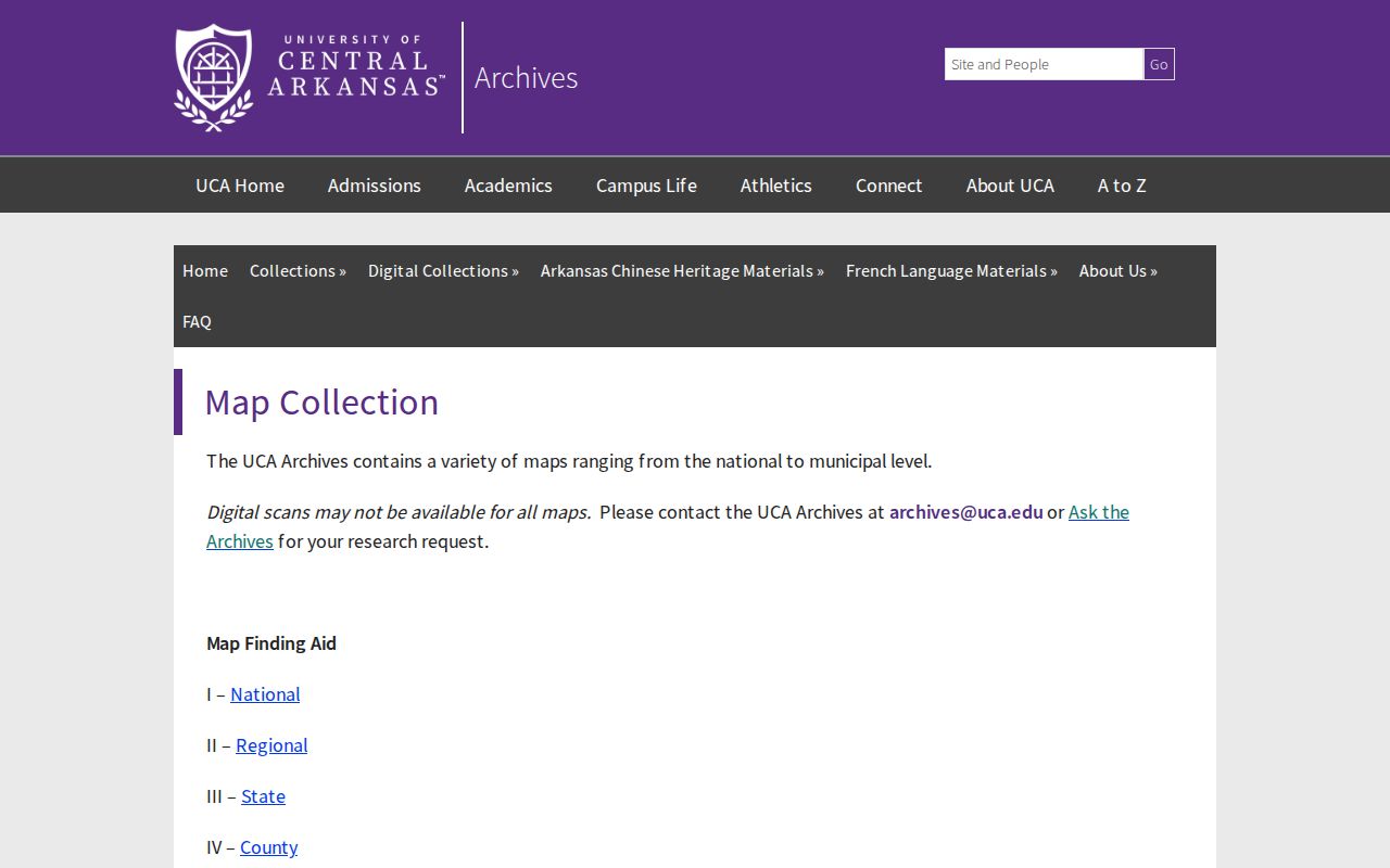 Its dated Conway and subdivision maps can show when a road, lot pattern, or neighborhood label entered the documentary trail.
UCA Archives requires appointments. The first reference appointment identifies material but does not include a box pull; a later research appointment should cite the exact series, box, file, or map item. That access detail prevents a wasted visit and makes the Conway address request far more useful to staff.
Eight Conway Resident Map Eras
The Library of Congress identifies Conway Sanborn editions for 1886, 1892, 1897, 1904, 1909, 1913, 1919, 1926, 1931, and 1948. The verified 1886 through 1926 run alone gives eight dated views. These fire-insurance maps document building footprints, use, materials, and street presentation. They do not name occupants. Later-image restrictions may apply, so the exact digitized sheet availability must be checked in the collection rather than assumed.
Layer a map date against each deed span and the nearest directory or census year. A changed building outline can explain a permit or a gap in household evidence. A shifted number can show why the same family seems to vanish from an address search. The land description remains the proof that the old map and the present parcel refer to the same place.
Note: A Sanborn sheet dates a structure and street context, while a directory or census is needed to connect a named resident to that place.
Pair Conway Residents With Census
Federal population schedules are public through 1950 under the 72-year release rule. The 1900 through 1950 sequence is the useful Conway household run, though the 1890 schedules are largely lost nationwide. HeritageQuest through the Faulkner County Library provides census images, and the National Archives explains the public schedules and release framework.
The National Archives census research service establishes the federal access path.  Census households can add names and relationships that a deed omits, but the enumeration date must be matched to the right Conway address and map era.
- Build ownership spans from the deed chain and mark each public census year within them.
- Search the likely owner or known occupant in the census, then inspect the schedule image and nearby households.
- Check the closest telephone book or selected directory year. Try initials, nicknames, spouses, and widow conventions.
- Compare the recorded address with the historical map and legal description before treating it as the same home.
- Record source date and role separately: owner, subscriber, household member, or nearby resident.
Conway Directories Add Occupants
The Faulkner County Museum holds telephone books dating to the 1920s and “some city directories,” plus yearbooks, funeral-home files, obituary files, family histories, and surname materials. Exact year gaps and reverse-directory years have not been verified. Treat each telephone book as alphabetic unless a physical street or criss-cross section is confirmed. A criss-cross directory is organized by street or telephone number rather than only by surname.
UCA adds a 1945 Southwestern Bell Conway telephone directory in the John L. Ward Collection, a 1933-1934 joint Arkansas State Teachers College and Hendrix student directory, and three copies of a 1961 Conway city-directory preface brochure. Those are precise requests, not proof of a complete printed run. Details about reading the collections belong with the Conway city directory shelf. For a past-resident search, record only the address, name form, spouse notation, telephone, and date needed to test the house trail.
Initials and spouse or widow conventions can make one person look like several. Search adjacent years and other household members. A missed entry may reflect marriage, death, a move, annexation, a number change, or a gap in the surviving volume.
Close Conway Previous Resident Trails
A deceased former occupant may lead into probate, obituary, funeral-home, or cemetery files. The Faulkner County Museum preserves Doolin and Roller-McNutt funeral-home records and local obituary files. UCA Archives catalogs Faulkner County probate estate papers from 1873 through 1917. Estate papers can name administrators and related parties, but they must be linked to the same person through dates, address evidence, and family context.
The UCA probate estate-paper collection gives a documented archival endpoint. 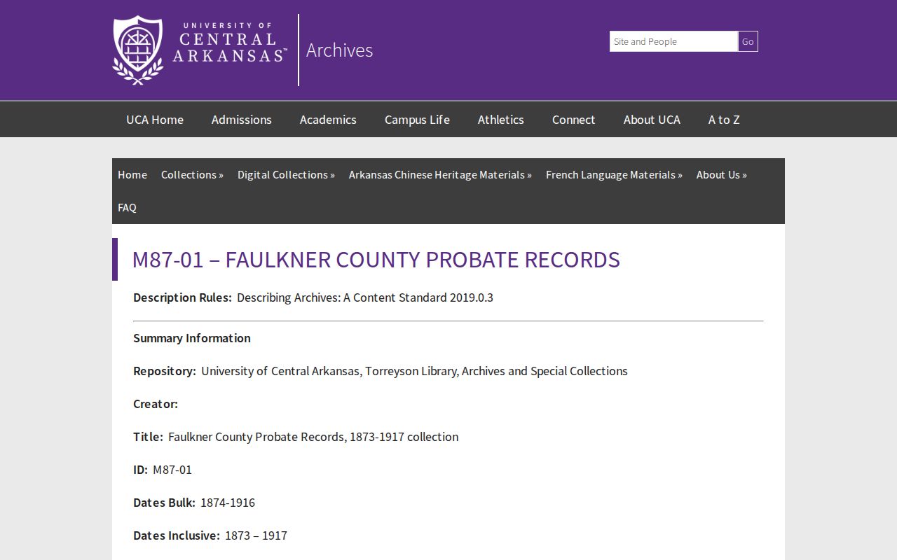 It can connect a past Conway resident to an estate and administrator when the deed or directory trail ends in death.
The Historical Society's cemetery census and the city's Robinson and Oak Grove cemetery boards add lawful burial-record routes. Oak Grove's historic section contains more than 1,386 burials and has a period of significance from 1881 through 1959. An interment or obituary can close a person's timeline, yet it does not by itself prove the final street address.
Test Conway Previous Resident Stories
The Vivian Lawson-Hogue collection includes Log Cabin Democrat “Old Homes of Conway” articles from 1996 through 2000, keyed to exact Prince, Robins, and Robinson addresses. A 2006 Historical Society and Old Conway Preservation Society house-tour book offers another lead list. Both can supply names, dates, and a narrative to test, but deeds remain the ownership proof and directories or census schedules remain the occupant proof.
Recent planning records can also deepen an old-house trail. Conway's 2025 revision to the Old Conway Design Overlay carries a modern county recording stamp. Historic Commission applications and packets may tie public applicants and design work to a parcel. Civic Access can date current projects, while a specific Arkansas Freedom of Information Act request is the fallback when the portal does not expose an older filing.
Separate Conway Owners and Residents
A title chain and an occupant trail answer different questions. Owners appear in deeds, tax, and assessment records. Past residents may appear in census schedules, telephone books, selected directories, obituaries, or probate. A homestead credit can support the claim that an owner used the parcel as a principal residence, but it does not list the full household. The owner's mailing address is where tax notices go, not proof of residence.
Keep the work dated and humane. Protected addresses, motor-vehicle records, utility customers, sealed matters, and living people's private household details do not become public merely because an old deed is open. Gaps should stay marked as gaps. Exact reverse-directory years, the first pre-1950 deed book, and the full Conway city-directory run remain unverified.
Lawful use. Research Conway past residents for family history, house history, estates, and personal curiosity. Never use the findings to track, harass, threaten, or harm a living person.